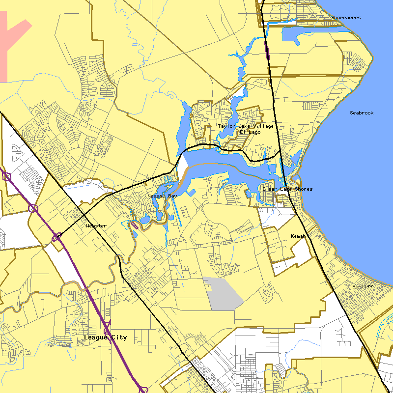
This map of the Clear Lake area was generated as-is by opening the following URL:
http://tiger.census.gov/cgi-bin/mapgen/.gif?lat=29.545&lon=-95.065&wid=.16&ht=.16&iht=800&iwd=800
This URL contains the Latitude, Longitude, and various size parameters. The mapping program is provided as a public service by the United States Census Bureau Tiger Mapping Service. To plot your own map, you must first know the longitude and latitude coordinates of the location to be mapped.
Once you know the coordinates, go read the Tiger Mapping Service instructions and give it a try!
Other free interactive map-making programs are available online: try MapQuest and MapBlast for a much easier means of making your own personalized maps; the only drawback is that you have no control over how large these maps can be. The Census program allows you to define the map size.
![]() Head on back to
the Clear Lake Page or check out the Photography Exhibit.
Head on back to
the Clear Lake Page or check out the Photography Exhibit.![]()